

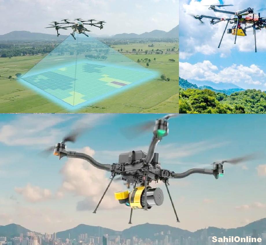
Sirsi: Aerial topographical surveying using drones is underway as part of the preparation of the Detailed Project Report (DPR) for the proposed Bedti-Varada river-linking project, said Ravindra Naik, president of the Forest Land Rights Struggle Forum.
Naik said the survey was being conducted under the supervision of the Karnataka Water Resources Department, with the Karnataka Engineering Research Station (KERS) undertaking the technical work. The survey is scheduled to be completed within three months.
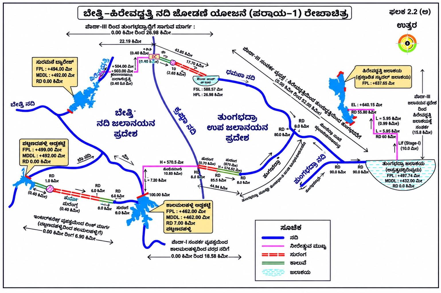
He said the DPR process had gained momentum following an MoU signed on December 23, 2025, between the National Water Development Agency (NWDA) and Karnataka Neeravari Nigam Limited (KNNL), under the state Water Resources Department, for preparation of the DPR of the Bedti-Varada (Hirevaddatti) Link Project.
The drone-based topographical survey uses advanced technology to accurately measure and map elevations, depressions, hills, valleys and other geographical features. It will also identify natural features such as trees and water-flow directions, along with existing structures including buildings, roads, fences, electricity poles and drainage networks.
According to Naik, the technology will help save time and improve survey accuracy while reducing costs and physical labour, particularly in areas where conventional field surveys are difficult to undertake.
The survey will document various technical aspects of the proposed project, including water conveyance routes, tunnel and pipeline alignments, barrages and detailed geographical information about the areas where the project infrastructure is proposed to be developed.
Naik said the comprehensive survey findings would be compiled within the stipulated three-month period and would provide important technical inputs for the preparation of the project's DPR.